New Zealand summer likely to be warmer than average - NIWA
RNZ
28 November 2024, 8:29 PM
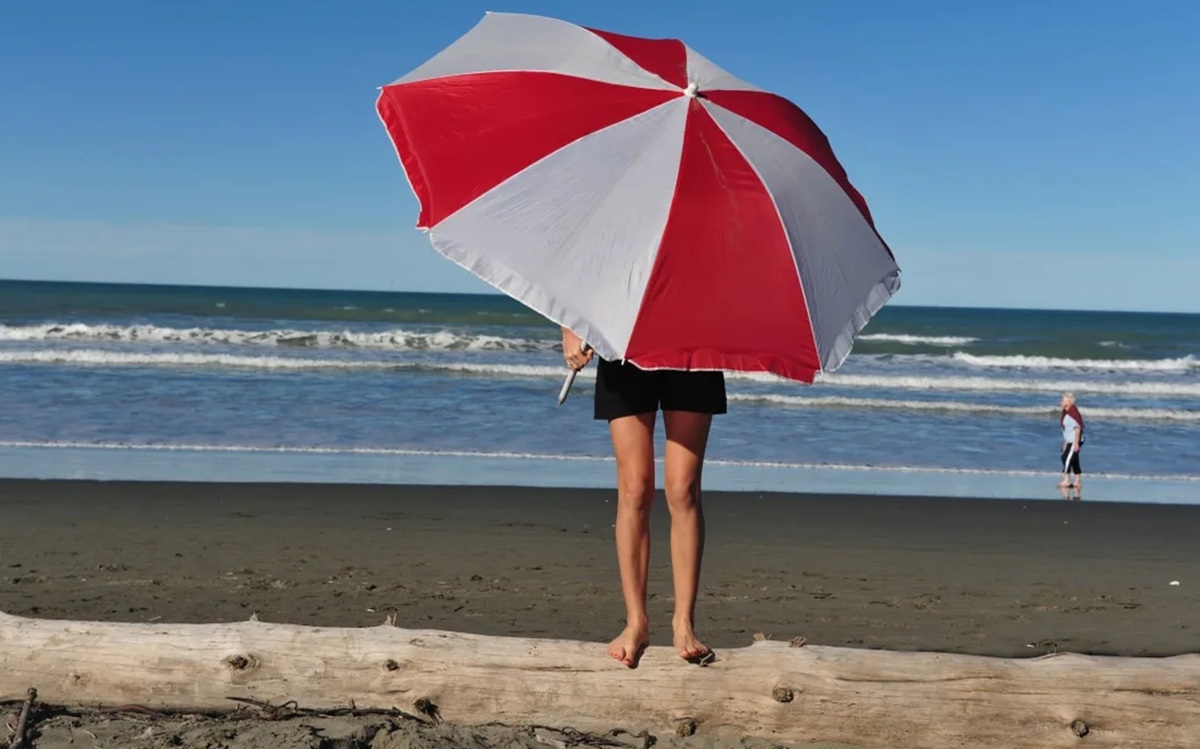
 File photo Photo: rafaelbenari/123RF via RNZ
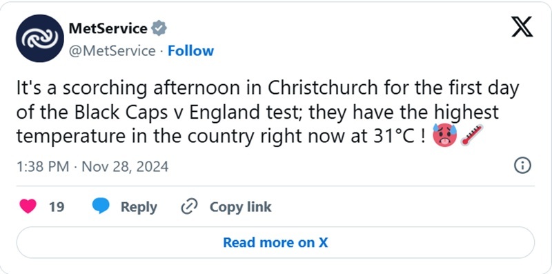
Summer officially starts on Sunday, but you would be forgiven for thinking it came early yesterday as temperatures soared across the motu.
By 10am, Banks Peninsula near Christchurch had recorded a temperature of 26 degrees - the warmest in the country.

NIWA meteorologist Chris Brandolino told Morning Report that our hottest months are shaping up to be warmer than average.
LIsten on Morning Report here: Summer arrives early as temps soar
But his words come with a caveat: "Keep it in mind when we issue these outlooks, we're predicting the themes that Mother Nature will throw our way, not so much a weather forecast."
Having said that, December through to February was likely to be warmer than average for all of New Zealand.
The high temperatures in Canterbury and Hawke's Bay before the official start of summer were a precursor to that, he said.
"Overall, the theme will be that we'll see warm days will outweigh the cool days and warm will certainly be a theme over the next three months."
Next week could see "some really, really, unusually warm temperatures", he said.
"There could be successive days where - particularly eastern parts of both islands, those favoured locations - could see temperatures exceed 30 degrees.
"So next week looks to be a very warm, if not a hot, start to the summer season."
After that, Kiwis could expect a change, with cooler temperatures for the South Island, warm in the North, and more "active" weather towards the middle of December.
La Nina looks to be "favoured outcome" through the latter part of summer, he said.
"We know the average impact of La Nina but every one has its own footprint, has its own personality.
"It's good as a guide to understand what has happened in the past to direct the future, but in reality every La Nina event is different."
Moving through January and February, the weather patterns were likely to become more La Nina-like, which would bring increased chances of more rain events.
"Whenever our air comes from the northeast, or the east - the tropics - we tend to have increased odds for rain events, and sometimes big rain events.
"So that looks to be a bit more likely as we head through summer - ie, the back half of summer."
Asked to predict how Christmas Day was looking across the motu, Brandolino demurred.
"Oh gosh... you know that's an impossible question to answer nearly a month out, but I'll have a stab at it."
In the lead-up to Christmas, we should keep an eye on the tropics - "they may become active" - but could see settled weather, and extended dry periods, particularly in the South Island, he said.
"I'm cautiously optimistic that the holiday itself should be OK.... but I'm not prepared to lock that in.
"As we get closer to Christmas - [I'm] hopeful that we'll see a bit more of a settled pattern kick in just in time for good ol' Saint Nick." - RNZ


