First notable snowfalls of the year predicted

Staff Reporter
27 March 2023, 1:24 AM
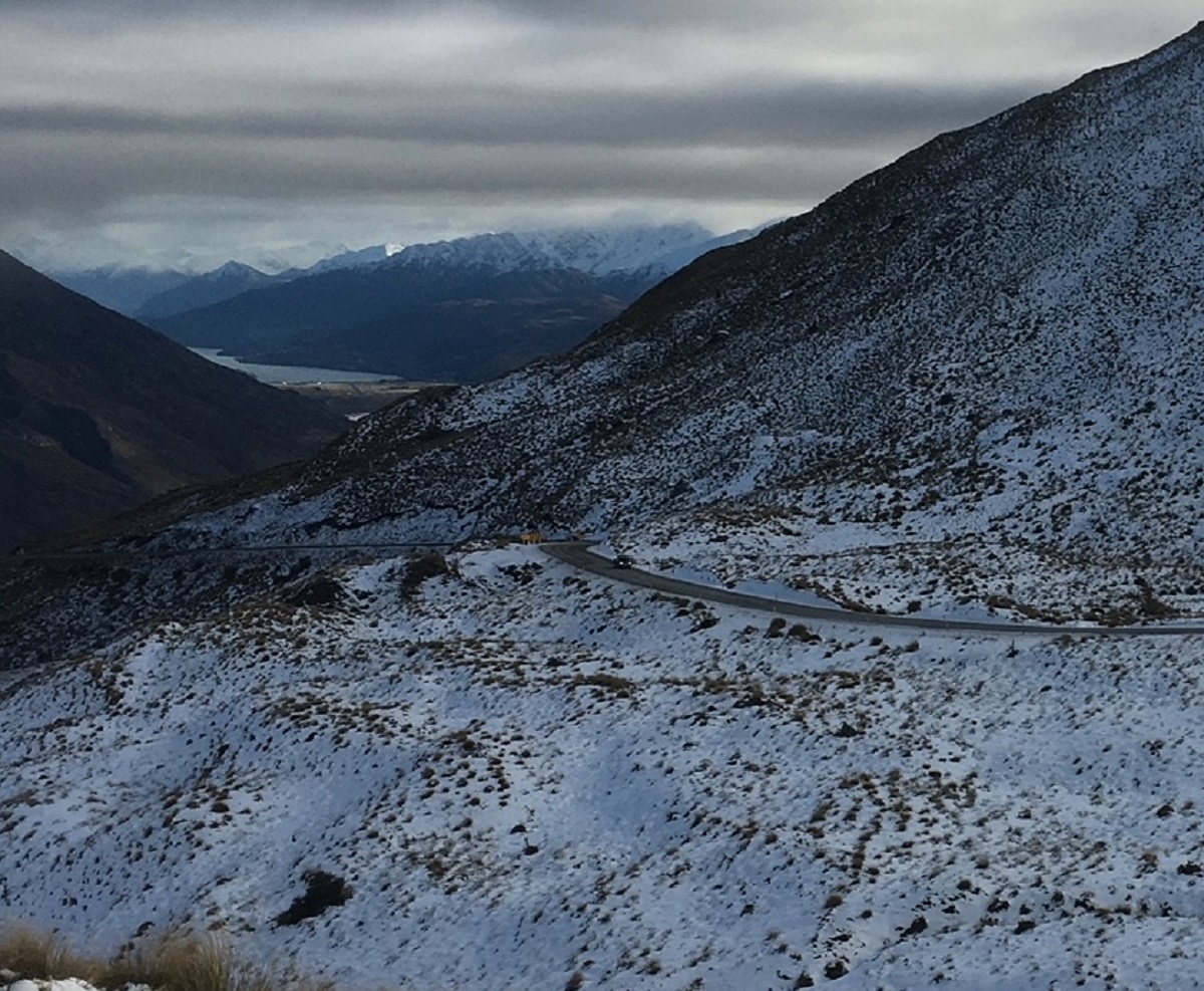 Road snow warnings are in place for the South Island winter passes, with a cold front expected to move through tonight. PHOTO: Ashley Smyth
A cold front due to hit the south overnight (Monday, March 27) also threatens to bring the first “noteworthy” snowfalls of the year.
People travelling to and from the Waitaki via the Lindis Pass should take care, with road snow warnings issued for the mountain passes from the early hours of tomorrow (Tuesday, March 28).
It is predicted the front will bring a blast of cold air and rain, which will fall as snow on mountains and elevated areas, Metservice has warned.
Snow levels as low as 400 to 700m above sea level over the southern and eastern parts of the South Island are expected.
MetService meteorologist Mmathapelo Makgabutlane said the Queenstown-Lakes and Central Otago Districts may get noticeable snow accumulations from early tomorrow morning, where the first MetService heavy snow watch of the year has been issued until midday.
As well as the mountain passes, these snowfalls may affect high country farms.
Below the snow in the mountains, other areas will experience a sharp drop in temperatures that will likely feel colder due to the wind chill effect from “punchy” southerlies over the eastern South Island and lower North Island, Mmathapelo said.
“Overnight temperatures will be near freezing for parts of Southland and Otago into Wednesday morning, and central North Island Thursday morning, so no doubt those winter blankets will come in handy this week,” she advised.
A ridge of high pressure towards the end of the working week flips the script, and ushers in a settled close to the month.
“After a dip mid-week, it will certainly be a brighter end to March 2023,” she said.