Weather expected to ease by afternoon

Staff Reporter
20 March 2023, 9:15 PM
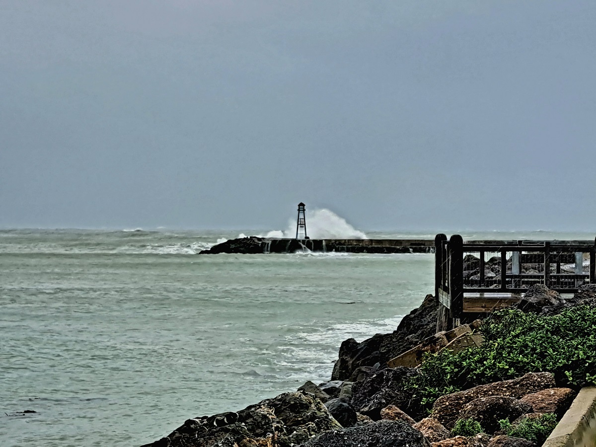 Heavy swells are expected to hit the east coast of the South Island until tomorrow (Wednesday, March 22). PHOTO: Ashley Smyth
Strong winds and heavy rain hitting North Otago today, are expected to ease this afternoon.
A deep low to the east of the South Island on Tuesday has directed a strong, cold southerly change up the country, with heavy rain warnings for Southland, Clutha, and Dunedin, and heavy rain watches for the remainder of Otago, and Canterbury.
A strong wind watch for south to southwesterly winds is also in force for North Otago, Dunedin, and the Canterbury coast and plains, while Banks Peninsula is under a Strong Wind Warning and can expect gusts of up to 120 km/h.
MetService issued a number of Severe Weather Warnings for heavy rain and severe gales through to early Wednesday, associated with first a strong and moist northwesterly flow followed by a strong, cold southerly change.
Later in the week high pressure builds again, signalling a return to more settled weather.
MetService Meteorologist Jessie Owen said the active weather began on the West Coast on Monday (March 20), where a front delivered heavy rain and thunderstorms.
Heavy swells brought on by the southwesterly winds are forecast to affect eastern coasts of the South Island and lower North Island coastlines right up to Northland, through until Wednesday.
Snow may fall as low as 800 m above sea level in the eastern South Island in the heaviest precipitation associated with the southerly change, Jessie said.
From Wednesday (March 22) onwards the active weather is set to move away to the east as a new high pressure system from the Tasman Sea pushes its way over the country.
This will mark the return of more settled weather to round out the working week although Jessie warned the colder nights would remain.