Local weather with WAL (Waitaki App Limited)
Staff Reporter
08 May 2023, 1:59 AM
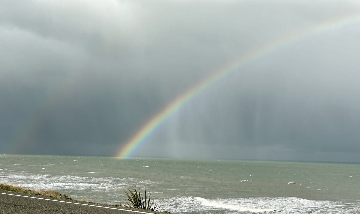 Rain is on its way again. PHOTO: Ashley Smyth
It looks like it’s the end of the golden weather for the Waitaki, at least for a few days.
The relatively warm, settled, autumn conditions seen in eastern Otago during the last few weeks are likely to give way to colder southerlies and showers later on Tuesday (May 9), while Wednesday and Thursday will bring strong southwesterlies, with daytime highs struggling to stay in the low teens and overnight lows around 5º Celsius, according to Metservice.
At this stage, the end of the week is looking slightly warmer, with light northerly winds, and temperatures reaching a maximum of 15ºC , falling to around 6ºC overnight.
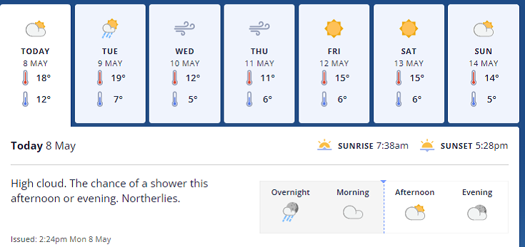
Meanwhile, further up the Waitaki Valley, Metservice has issued a heavy rain watch for the Otago lakes and river headwaters, forecasting periods of heavy rain in the 24hrs from 8pm tonight (May 8).
Rainfall amounts may approach warning criteria within 20km east of the main divide.
Omarama’s Wednesday forecast turns showers to rain, with southwesterlies developing, gales about the foothills and snow lowering to 700 metres with a high of around 11ºC and a sub-zero overnight low.
Showers should clear on Thursday but gale southerlies and a single digit high of around 7ºC will keep things chilly, clearing to a fine but cool weekend with light winds and daytime highs of around 11-12ºC, with temperatures down to zero again overnight.
Stay updated throughout Waitaki by clicking on the Waitaki App Weather button.